Route is FINAL effective 6/16/2022.
Route Links
Full route GPS file
Day 1 GPS file
Day 2 GPS file
Day 3 GPS file
Day 4 GPS file
Day 5 GPS file
CUE SHEET
Kevin Smith’s excellent June 10th pre-ride report
Video from the May pre-pre-ride of Day One
Day 0 – Bainbridge Island
Thursday, June 23rd
We gather on Bainbridge Island
in scenic Puget Sound for rider check-in, bike and gear inspection and a
rider meeting. These activities are mandatory, and riders will not be
allowed to start the event if they do not attend. The cost of the
“Night 0” hotel on Bainbridge Island is INCLUDED in the ride fee.
Day 1 – Bainbridge Island to Amanda Park
Friday, June 24th. 342km ~3540m
After a 5am start, you’ll head north to Port Gamble, over the Hood Canal floating bridge, and begin a counterclockwise circumnavigation of the Olympic Peninsula. Along the way, you’ll spend time on the car free Olympic Discovery Trail, at times surrounded by tall trees, and at others with expansive views across the Salish Sea to Canada. Fans of the Twilight series might want to allow a few extra minutes to explore the town of Forks
as you pass through. After Forks to the overnight in Amanda Park at
the Lake Quinault School, you will be travelling through the Hoh
Rainforest and on the lands of the Quinault Indian Nation.
The students and staff at the Lake Quinault School are excited to
welcome you in with meals prepared by the school’s culinary students.
Day 2 – Amanda Park to Packwood
Saturday, June 25th. 323km ~2423m
You
continue your journey this morning on Quinault land as you turn south
and inland again. As you work your way east, you’ll be roughly
following the path of the Chehalis River over gentle terrain all the way
to Oakville, then up and over a series of short hills to Vader, the
southernmost point on the ride. Spencer Road will take you up to
Cinebar, an SIR favorite, where you will head east again to Morton, and
finally on to the overnight at the Cowlitz River Lodge in Packwood, which will be familiar to veterans of the 2016 Cascade 1200.
Day 3 – Packwood to Wenatchee
Sunday, June 26th. 302km ~3305m
Buckle
up, because today you will have TWO major mountain passes to conquer.
The first begins as soon as you roll out the door from the overnight.
White Pass
is 3700 feet and 20 miles up up up the road. Be sure to pack a jacket
as Cascade passes can be very cold any time of year. Really! You’ll
circle Rimrock Lake to the south, then continue the long descent allllll
the way to Naches. By now you’ll notice the distinct change in
scenery as you’ve transitioned from the wet west side of the Cascades to
the much drier east side. After Selah you will enter the truly
spectacular Yakima Canyon,
a designated scenic byway that stretches north to Ellensburg. Be sure
to have your camera handy! Have a rest and FUEL UP in Ellensburg,
because you’ll need the calories to get you up and over Blewett Pass.
Blewett isn’t steep but it is long, so pace yourself. From the
summit of Blewett, it’s *mostly* downhill to the next overnight in Wentachee.
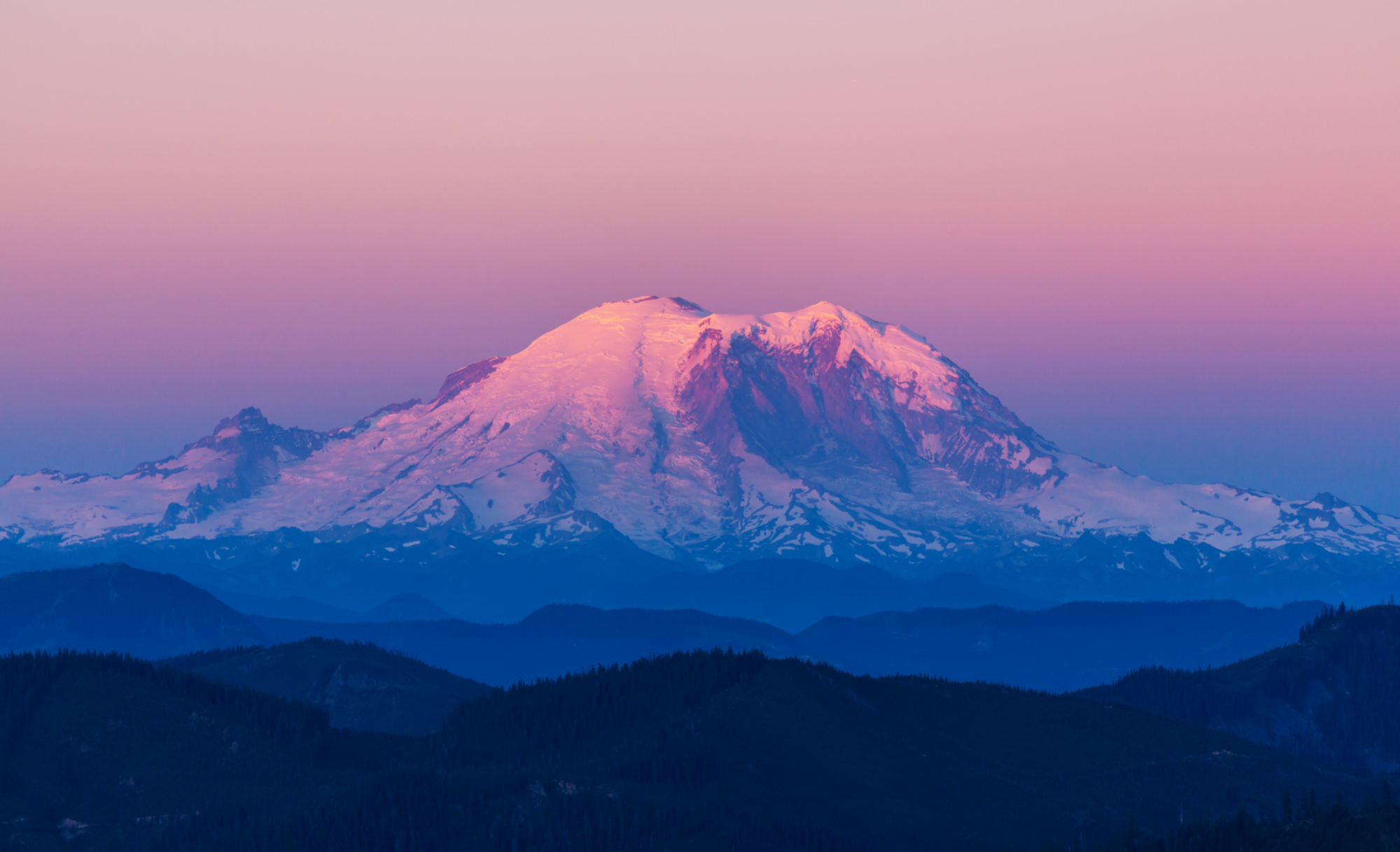
Day 4 – Wenatchee to Mazama
Monday, June 27th. ~221km ~1966m
Yes,
we know you’ll be tired after yesterday’s big big day. But persevere
and get back out there, because today is quite a bit less strenuous.
Leaving Wenatchee, the route follows the gentle banks of the Columbia
River for the next 25 miles with lovely views all along the way. This
part of the state is known for it’s fruit orchards, and you’ll see many along the way. The only real hill of the day bumps you up and over to Lake Chelan,
where you’ll follow the shoreline for some beautifully scenic miles.
At Pateros, you’ll bid farewell to the Columbia River for the last time,
and head up the Methow River Valley. Upriver, you will find the 4th and final overnight at Mazama.
Mazama is *always* the last overnight on any Cascade event and it’s
easy to see why. The setting is breathtaking, and the two lodges that
serve as our overnight location are luxurious and comfortable. That
good night’s sleep will set you up well for the tomorrow.
Day 5 – Mazama to Arlington
Tuesday, June 28th. ~218km ~2094m
This is it. The final day. The last big push. And a big push it is. You’ll spend much of the day on the North Cascades Scenic Highway. In the first 16 miles, you’ll gain nearly 3400 feet working your way to the highest point of the entire trip, Washington Pass.
No one passes this point without taking a photo of the road they just
travelled up dropping away behind them. After Rainy Pass, you’ll drop
down into North Cascades National Park. You will be cheating yourself of a breathtaking view if you do not pull off into the Ross Lake Overlook.
Seriously, click that hyperlink because as pretty as it is on a
screen, it’s 100x better in real life. As you work your way along the
final miles towards the finish in Arlington, you’ll travel through Oso,
where in 2014, the single deadliest landslide in the US took the lives
of 43 people. The slide scar is clearly visible from the roadway.
Take a moment to visit the roadside Oso Slide Memorial if you have the time. Volunteers, friends and family await your triumphant finish in Arlington.
Route Summary
Curious about the control closing time for each overnight and the daily required minimum pace?
| Overnight | Distance (km) | Daily Distance | ~Elevation Gain (meters) | Daily minimum Pace (kph) | Overnight Closing time |
| Amanda Park | 342 | 342 | 3544 | 13 | 7:18 |
| Packwood | 665 | 323 | 2423 | 12.75 | 8:24 |
| Wenatchee | 967 | 302 | 3305 | 12 | 9:34 |
| Mazama | 1188 | 221 | 1966 | 11 | 5:40 |
| Arlington | 1406 | 218 | 2094 | 10.9 | 1:40 |
| 13799 | avg 12 kph | 116hr, 40 min |